Unearth AI

About Unearth AI
Unearth Insights delivers advanced geospatial data services tailored for businesses looking to optimize their mapping and decision-making processes. Featuring Unearth Lite—an intuitive, ChatGPT-powered location explorer—users can easily navigate complex location analytics. This innovative platform is designed to democratize geospatial data for everyone.
Unearth Insights offers various pricing plans, starting with a free trial for Unearth Lite, designed to introduce users to its capabilities. Paid tiers provide advanced features and enterprise-level analytics to enhance decision-making. Upgrading unlocks more analytical power, tailored solutions, and dedicated support for successful outcomes.
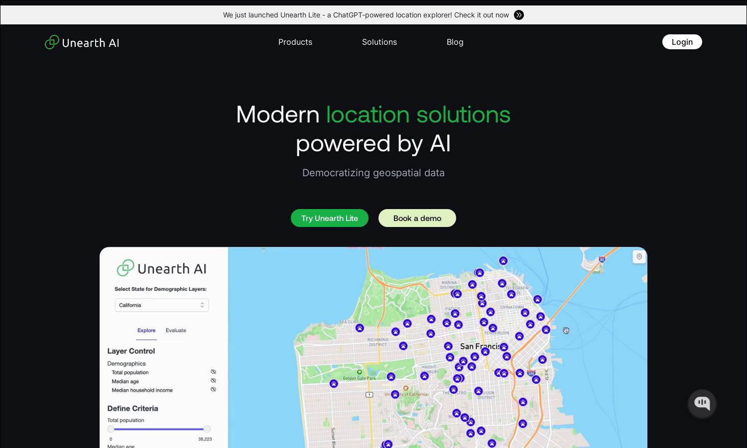
Unearth Insights provides a clean, user-friendly interface that ensures smooth navigation throughout its platform. The layout is designed for optimal interaction with geospatial data, making it accessible for both novices and professionals. Unique features like interactive maps and dynamic dashboards enhance the user experience.
How Unearth AI works
Using Unearth Insights starts with a seamless onboarding process, where users can sign up and access the dashboard. They can explore the interactive maps to visualize locations, utilize advanced analytics tools to gather insights, and make data-driven decisions. The platform supports easy navigation and comprehensive features, ensuring users optimize their experience effectively.
Key Features for Unearth AI
ChatGPT-Powered Location Explorer
Unearth Insights revolutionizes location exploration with its ChatGPT-powered Unearth Lite. This dynamic feature allows users to discover and analyze geospatial data efficiently. By providing intuitive interactions and instant insights, Unearth Lite enhances decision-making processes for businesses, making complex data easily accessible and actionable.
Flexible Enterprise Geospatial Analytics
Unearth Insights offers flexible enterprise geospatial analytics to cater to various business needs. This key feature allows organizations to tailor analytics processes, enabling effective data visualization and reporting. By integrating with existing systems, this solution empowers teams to derive meaningful insights from geospatial data effortlessly.
Dynamic Mapping Services
Unearth Insights boasts dynamic mapping services that provide real-time data visualization and analysis. This feature enables users to create custom maps tailored to specific requirements, enhancing their understanding of spatial relationships. Through interactive tools and features, businesses gain valuable insights for better strategic planning.


