Satlas
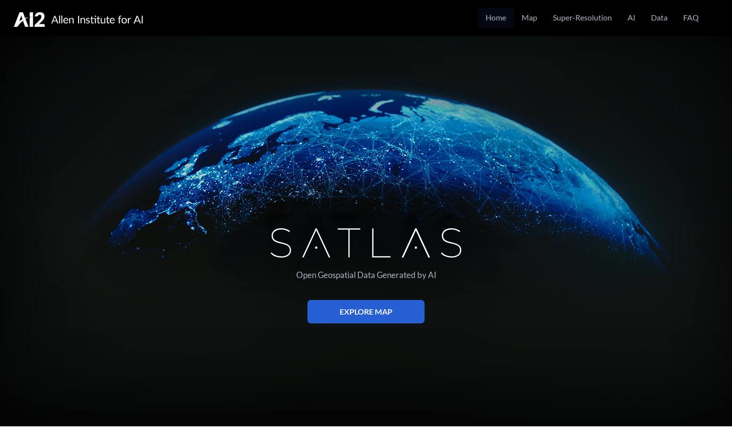
About Satlas
Satlas is an innovative platform that empowers users to explore how our planet is changing through AI-annotated satellite imagery. Targeting researchers and environmental enthusiasts, it offers super-resolution images and extensive geospatial datasets, facilitating deeper insights into environmental changes and infrastructure development globally.
Satlas offers free access to AI-generated geospatial datasets, with no subscription fees required. Users can download data for offline analysis, enabling them to engage deeply with environmental changes. Upgrading to more advanced features enhances user capabilities, making it a valuable tool for extensive research.
The user interface of Satlas is designed for seamless navigation, featuring an intuitive layout that prioritizes user experience. Its unique filtering options and interactive maps allow for easy access to satellite imagery and data, making it user-friendly and efficient for those exploring environmental transformations.
How Satlas works
Users interact with Satlas by signing up to access AI-annotated satellite imagery. Onboarding is straightforward, offering guided tours to navigate features such as geospatial data downloads, super-resolution image enhancements, and exploring various environmental changes. Users can easily filter and visualize data to gain insights into our planet's transformations.
Key Features for Satlas
AI-annotated satellite imagery
Satlas features AI-annotated satellite imagery, providing users with insights into environmental changes. This innovative aspect allows researchers and enthusiasts to visualize real-time data, highlighting infrastructure developments and ecological transformations. Satlas simplifies access to crucial imagery, enhancing understanding of global changes.
Super-resolution capabilities
Satlas employs super-resolution capabilities to enhance low-resolution satellite images, delivering high-quality visuals for better analysis. This cutting-edge feature allows users to explore geographical changes with greater detail and accuracy, making Satlas an essential tool for researchers and environmental advocates.
Publicly available datasets
Satlas offers publicly available AI-generated datasets for offline analysis, encouraging data accessibility for researchers and environmentalists. This unique feature promotes transparency and enables users to deeply engage with geospatial information, enhancing research capabilities on critical environmental issues.
You may also like: